
The Forgotten Fells
- Nav-Trek
- Sep 2, 2018
- 6 min read
If you drive along the M6 motorway between Lancaster and Carlisle there is one stretch of road where you are sandwiched between two of our National Parks, the Lake District to your left (if heading North) and the Yorkshire Dales to your right (still heading North)
The Lake District will catch your eye first for sure! The rugged mountains rising before you, with their dramatic names. Scafell Pike, Helvellyn, Great Gable and such. And then there is the beautiful lakes and waterways that give the Lake District its name. With 19 million visitors a year it is The UK`s biggest and probably most famous National Park.
Therefore most people visiting the area will be seduced by the lakes and only give a passing glance to a range of fells on the border of the Yorkshire Dales. These rolling hills with names such as Arant Haw, The Calf and Brant Fell do little to capture the imagination and entice adventurers away from their craggy dramatic neighbours towering above them on the other side of the M6
But that doesn’t make them any less beautiful, and they have their own sense of drama too. Alfred Wainwright described them as “A herd of sleeping elephants” as the sloping fells fall away into the valleys below like an elephants trunk as they sleep.
If you are wanting a day on the hills away from the crowds where you can enjoy peace and solitude, then the forgotten fells of the Howgills is the place for you!
I initially planned this route to be 50kms over two days with a wildcamp in one of the many valleys, but due to a wardrobe malfunction (i`ll come back to this) i had to cut the route short on day two due to poor weather!
I started in good weather and spirits from the picturesque town of Sedbergh and followed the Dales Way recreational path up on to the fells. Within half an hour of leaving the car the views were already taking my breath away (as was the climb)

Sedbergh from the first ascent
Detouring slightly off the marked footpath on my OL 19 explorer map, i was soon on the first summit of Winder. From here the views over to the Lake District are simply amazing. So good that a viewing plaque with named fells has been erected there

The Lake District from Winder
I got talking to a young lady on the summit of Winder and we discussed the great outdoors in length, and what draws us to it. Emily works for the RSPB charity and was up there observing our feathered friends flying above. I began to point out all the fells in the distance and name them and Emily did the same with the birds flying overhead.
“They all look the same to me” i said of the birds to Emily
” Likewise with your mountains” said Emily 🙂
We said our goodbyes and headed off in different directions. I made a point of looking skywards to see if i could identify any of the birds i saw from then on but i`ll be honest they still all looked the same haha
Distracted by my new found love of all things feathered i soon found myself on the next summit of Arant Haw at 605 metres. “Maybe i need to think of birds more often on ascents?” i thought to myself, as that one flew over (pun intended)

The ascent of Arant Haw
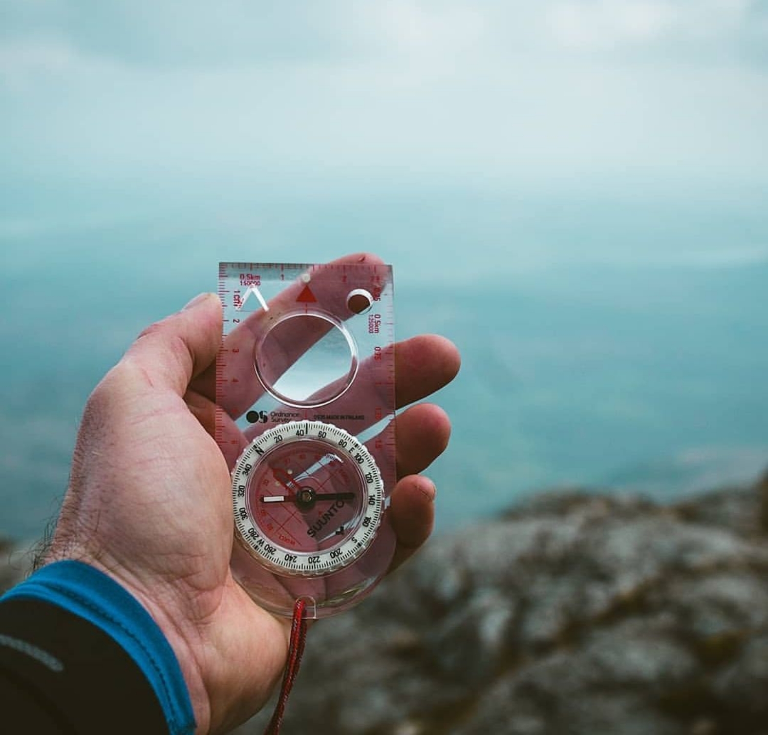
I did a little navigation work on contours whilst on the summit as the distinctive rolling hills are easily identifiable on the map. Practice makes perfect as they say 🙂

Contour heaven!
It was getting late in the afternoon now and i could see that a great sunset was on the cards as the sun dipped to the West of me. My original plan was to camp low in a valley to avoid the wind and rain that the weather forecast promised i would wake to on the Sunday morning, but all good plans change and this sunset was too good an opportunity to pass on. I headed Northwards to the summit of The Calf to set up camp for the night .
At 676 metres it is the highest point of the Howgills and would offer the best seat in the house to watch the spectacle of the sun setting over the West coast.

Trig column on the calf
Although i did get a great sunset, i was too busy setting up my tent and cooking some hot food that i didn’t really capture it well on my camera. As the sun dipped into the sea and darkness began to fall, i turned to the East to be greeted with an amazing moon rise!

The rising moon
A tired but happy Scotty turned in to bed at 10pm ready for a long hike the following day. Sure enough at 3am i was awoken by the smug pitter-patter of the weatherman’s forecasted rain hitting my tent. “Not to worry, i have waterproofs” i thought to myself as i counted the pits and pats and drifted off back to sleep.
Waking again at 8am it was time for my all day breakfast and a hot coffee! Eating outdoors (or in my tent porch on this occasion) is such a great experience, and food that generally tastes like dog food in the comfort of your dining room actually tastes like 5 star Michelin food up on the fells 🙂
Not to be perturbed by the now heavy rain and high winds i packed away my cooking gear and went to put on my waterproofs for the hike ahead…..
Now this is where a good plan B or even better preparation to Plan A comes into effect!!
Struggling to get my waterproof trousers up past my knees the horrible realization dawned on that i had brought my sons trousers by mistake (aged 13)
I frantically pulled and pulled in the hope that they would miraculously stretch and fit but alas it was to no avail. They only went as high as my thigh and the Howgill Fells in bad weather is not the place to waddle like a penguin with wet thighs!!!
This is where my intended 50km route suddenly became a 20km route, and after a quick look at the map Plan B was formed. I would drop back down via Cautley Spout waterfall and hug the valley back to Sedbergh.
Packed away and walking at a fast pace to try and reduce my soaking time i headed off towards the waterfall. I hadn’t intended to visit Cautley Spout on my original route but i was pleased i did in the end. Every cloud and all that (again,pun intended)
At 650 metres it is England’s highest waterfall and well worth a visit. I imagine it is a very popular in warmer weather but on this day the place was deserted due to the rain. It added a dramatic eeriness about the place for me..

Cautley Spout
I would have liked to have stayed here for longer but my waterproof jacket (adult size) was constantly reminding me that i was not water repellent from the waist down as a steady stream of water ran off it onto my legs 😦

The valley below Cautley Spout (taken on the Saturday)
It was a long slog through the valley and back to Sedbergh from here, but again on a more pleasant day it would make a wonderful return journey with fab views over the dales as you follow the River Rawthey back to town.

Despite being soaked i still used the bridge to cross the river Rawthey

A welcome sight. Dogs allowed but not drowned rats unfortunately 🙂
Back in the town of Sedbergh it was a quick change of clothes before grabbing a tea and cake from one of many tea shops/ cafes in the town. A quick read of what to do in the dales guidebook ( pack suitable waterproofs should be in there!) whilst i dried off, and then it was the drive home.
The Howgill Fells will definitely be getting more visits from me in the future as i feel there is so much more to explore around here.
I highly recommend you go for a walk or two here too. If you follow my route that i have attached please look out for my sunglasses that i lost on the Sunday too! What a trip hey??
The next time i am driving along the M6 it will be the Howgill Fells to my left (if heading South) that catches my eye and brings a smile to my face! 🙂
Links below…..
Thanks for reading….
Scott


Comments